More Snow Expected Overnight in Area


The National Weather Service Baltimore/Washington is predicting another round of accumulating snow is expected across the region this evening into Friday morning, Jan. 7.

Multiple reports have the storming starting after 10 p.m. and finishing up around 6 a.m.

Two to three inches are predicted in eastern Baltimore County.

Freezing Rain Possible for Wednesday Morning


The National Weather Service Baltimore/Washington Light stated that freezing rain or freezing drizzle will be possible overnight into Wednesday morning which could lead to slippery travel conditions in the Baltimore Region and to the south of the region.

The potential exists for accumulating snow late Thursday into Friday.

Hazardous travel conditions may be likely.

BCPS Schools to Close Monday for Weather


Baltimore County Public Schools (BCPS) announced that all schools will close on Monday, Jan. 3 for expected inclement weather.

BCPS announced late last week that it was going to remain with in-person school despite an increase in COVID-19 cases.

In-person school, the Virtual Learning Program, and offices will be closed on Monday.

“Essential” employees report on time for their assigned shift or may request from the appropriate supervisor to use leave time.

“Essential as Needed” employees will report to work as directed or may request to use leave time from the appropriate supervisor.

All school and community activities in school buildings are canceled. All childcare programs are also canceled.

Eastern Baltimore County Recovering From Friday’s Weather


As predicted, eastern Baltimore County’s coastal lines were hit with bad weather. Many of the low-lying areas such as Bowleys Quarters, Edgemere and Dundalk were hit with high tides that flooded many homes and roads. That resulted in school and road closures on Friday.

Baltimore County Fire Department said that the storm is over but there is still a lot of damage left in the aftermath.

“Emergency crews are conducting damage assessments from yesterdays costal flooding and heavy rains. While water is receding there may still be flooded roadways. As always use extreme caution when driving and avoid driving through flooded roads,” said a statement for the Fire Department.

Baltimore County Has Released a List of Road Closures


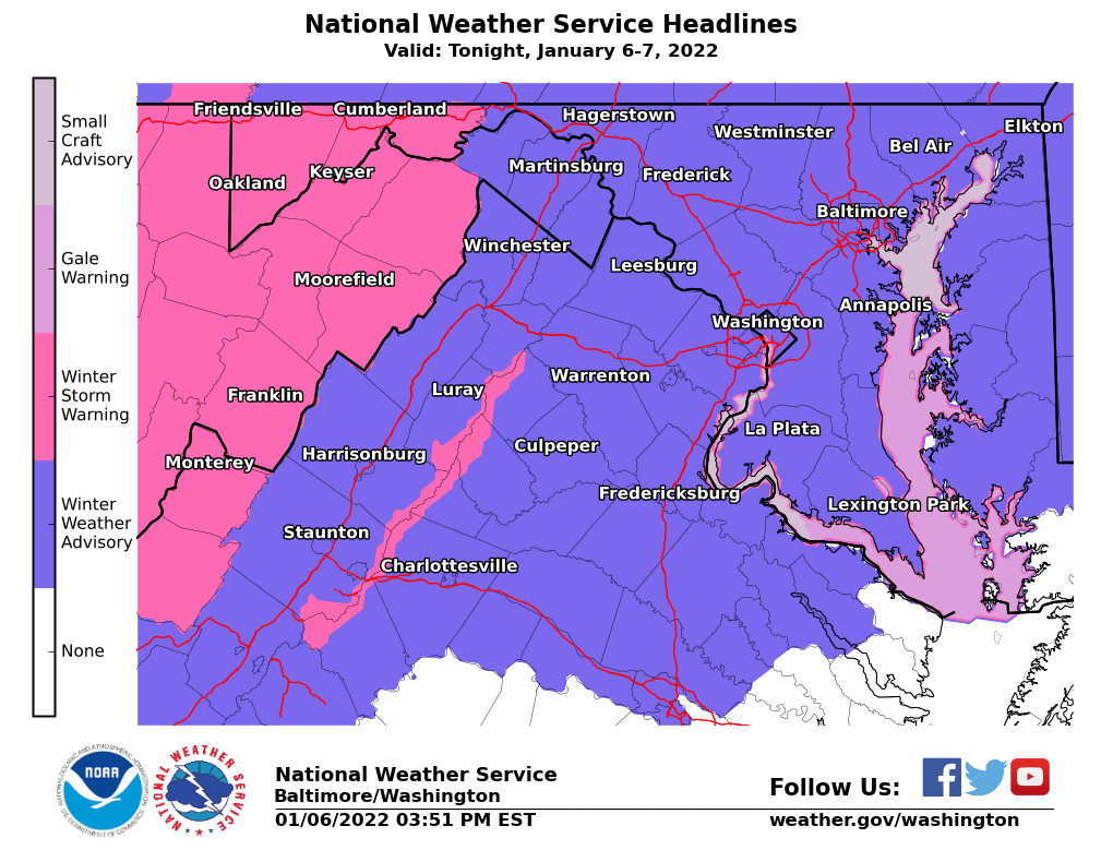
This is the latest list of county road closures and other road-related problems caused by today’s coastal flooding/wind event. This is list is changing constantly as problems are reported and resolved.

ROAD CLOSURES
Millers Island Boulevard at Baylight Avenue, 21219
Grace Road at Martha Avenue, 21219
Lynch Road at Martha Avenue, 21219
River Drive Road at White Way Road, 21219
Peach Orchard Road, 21222
Bullneck Road at Long Point Road, 21222
Ella Avenue at River Drive Road, 21219
River Drive Road at Grace Road, 21219
Millers Island Boulevard at North Point Road, 21219
Bayside Drive at Beach Drive, 21222
Galena Road, 21221
New Section Road at the dead end, 21220
Bay Drive, 21220
Wye Road, 21221
Wilson Point Road, 21220
Seneca Park Road, 21220
Wilson Point Road at dead end, 21220
Riverside Drive at Cox Point Park (entrance to park), 21221
Clarks Point Road at Bowleys Quarters Road, 21220
TREES BLOCKING ROADWAYS
520 Braeside Road, 21229 (blocking alley, wires down; BGE notified)
3667 Hilmar Road, 21244
Old Court Road at Bedford Avenue, 21208
17 Warren Road, 21221
4601 Wards Chapel Road, 21117
Lakeside Boulevard at Groffs Mill Road, 21117
Hatherleigh Road, 21212
Pepper Hill Road, 21128 (tree in wires; Verizon contacted)
Green Glade at Manor Road, 21131; (tree in wires; Verizon contacted)
Golupski Road and Holly Neck Road, 21221; (BGE notified)

Flood Watches & Wind Advisories/Warnings Scheduled for Friday


While major coastal/tidal flooding will be the main story with this system, US National Weather Service Baltimore/Washington reports flood watches & wind advisories/warnings have also been issued in other portions of the area.

The NWS said this has the potential to be the greatest tidal flood since in the area Isabel in 2003. High tides are expected to be the highest levels between Friday mid-day and Saturday morning.

This could result in impassable roads and sidewalks.

Heavy rains and heavy waves could result in flooding

Coastal Flood Warnings Issued for Region


The National Weather Service Baltimore/Washington reported that several Coastal Flood Warnings have been issued along the Chesapeake Bay and Tidal Potomac River.

Water levels are already on the rise and will only rise more throughout the day today and into Friday.

Tidal inundation levels of 2-4 feet are expected in low-lying coastal areas.

Flash Flood Watch Issued Until 2 a.m.


The National Weather Service Baltimore/Washington has issued a Flash Flood Watch until Tuesday. Oct. 26 at 2 a.m.

Storms will move into the area from the south and west. 1-2 inches of rain is expected, with up to 4 inches possible.

Do NOT drive across flooded roads tonight. Most flood deaths occur in vehicles.